FloodScore Planning
FloodScore Planning combines ocean, weather, hydrologic and hydrodynamic modeling to produce flood depth estimates for a given return period up to 50 years in the future. FloodScore helps customers understand risks for a variety of different time periods in the future, for thee different scenarios of sea level rise, and for a large variety of different thresholds covering different risks. Key features include:
FloodScore's mapping technology provides an accurate picture of asset-level risk at spatial resolution down to 3 meters. The Data Explorer interface in FloodScore allows access to the actual data and enables users to generate and export detailed hazard data for large collections of customer assets. | 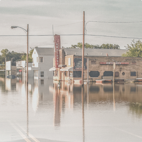 |